Canopy Cover Assessment
2023 Tree Canopy Assessment
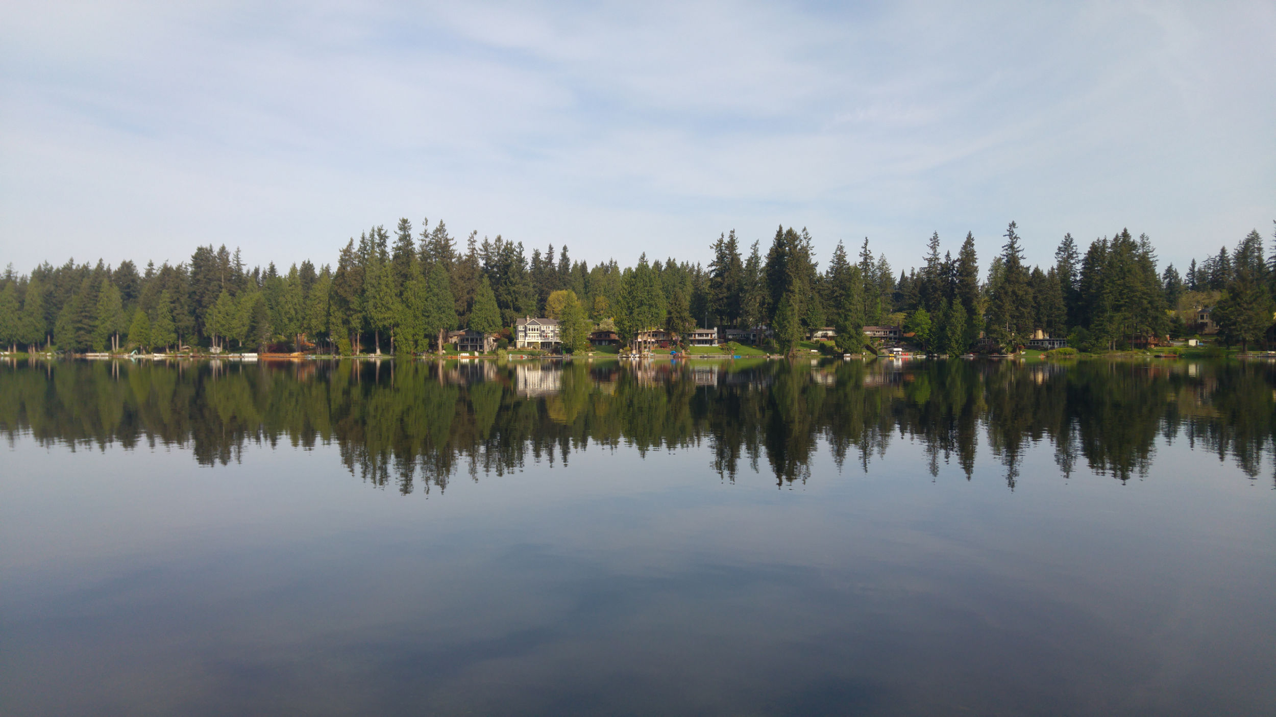
As part of the King Conservation District (KCD) Urban Forestry Program, KCD contracted with PlanIT Geo to provide the City of Sammamish with a tree canopy assessment for city-specific geographies.
This project adds the City to the KCD canopy viewer (linked here).
- A video tutorial is available to assist with navigating the viewer.
The resultant GIS files provide updated data on city-wide canopy cover from 2017 to 2023 and support UFMP planning efforts, including a baseline analysis of canopy cover impacts on stormwater capacity.
Sammamish Canopy Summary Fact Sheet
Assessment findings:
- 54% Citywide canopy coverage in 2023
- +2% Citywide increase in canopy since 2017
- 153 acres of canopy gained
- 2,469 acres of potential planting area
- 96% of plantable space located in residential zones
Note: Zoning canopy percentages are class averages and will differ from citywide totals due to differences in baseline land area.
In Sammamish, residential areas offer the greatest opportunity for tree
canopy expansion. These results show how important it is for the community to come together to care for existing trees and plant new ones where they’re needed most.
Funding
The KCD Member Jurisdiction Grant Program funds projects in partnership with cities that are members of King Conservation District. The City of Sammamish received a $13,000 grant for the canopy cover assessment.
2019 Tree Canopy Assessment
As part of the Urban Forest Management Plan development, the City of Sammamish completed a stand-alone 2019 canopy cover assessment. This assessment helped the City better understand its urban forest resources by evaluating how much of the city was covered by trees.
Work was completed with:
- the University of Washington's Urban Ecology Research Lab; and
- the Davey Resource Group's Geographic Information System (GIS) team.
Funding
The City received a $15,000 grant for the 2019 canopy cover assessment. The grant funds were provided by the USDA Forest Service Urban and Community Forestry Program. The grant was administered through the State of Washington Department of Natural Resources Urban and Community Forestry Program.