Transportation Planning Frequently Asked Questions
How does the City plan Sammamish’s transportation network?
Transportation planning involves long-range plans and a framework for making projects happen.
The guiding document is the Sammamish Transportation Master Plan (TMP) which provides transportation goals, policies, and implementation strategies over a 20-year period. The City also develops mode-specific plans that complement the TMP such as the Bicycle and Pedestrian Mobility Plan and the Transit Plan.
The City’s Transportation Improvement Plan (TIP) is the framework for evaluating and prioritizing projects to determine which projects to fund and construct over a six-year period. The projects that are considered are typically identified in long-range plans through analysis and community feedback.
In addition to transportation projects that are publicly funded, some transportation improvements are privately funded. Each new development project is evaluated for impacts to safety and multimodal travel including vehicular traffic. Developers build the new infrastructure associated with their development, as well as mitigate any impacts.
What are some of the challenges for Sammamish’s transportation network?
Since its incorporation from King County in 1999, Sammamish has grown from a population of less than 30,000 to a population of over 65,000. Although Sammamish has experienced infill growth in the 25 years since incorporation, most of the population growth has come from the annexation of Klahanie.
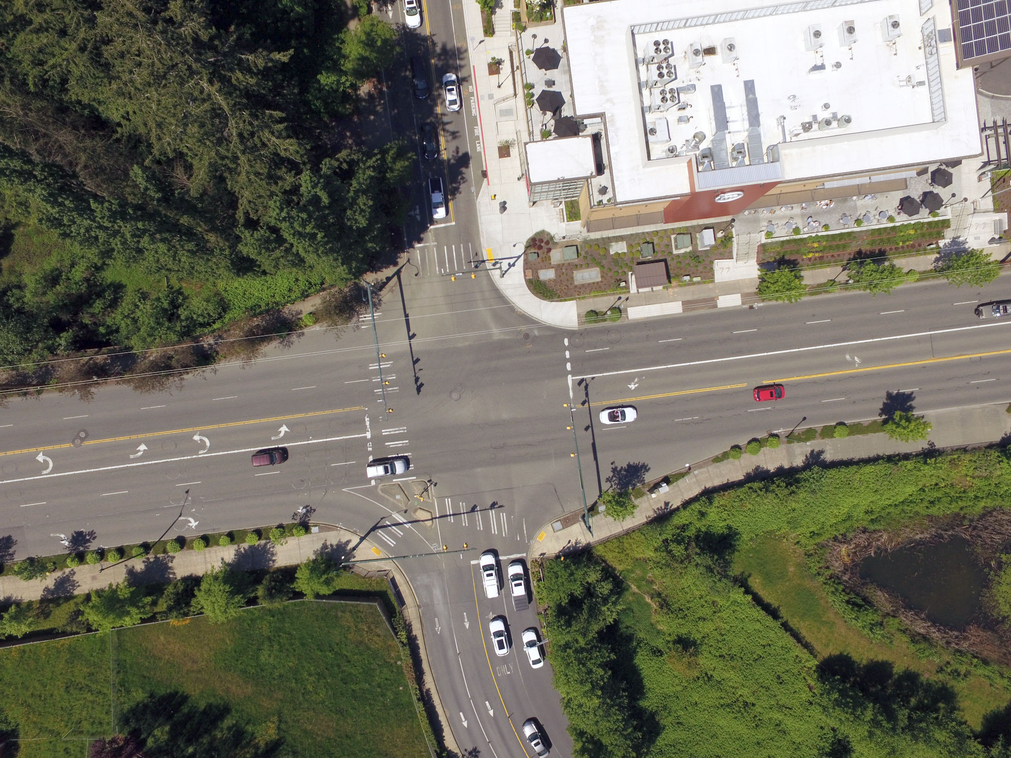
One of Sammamish’s transportation challenges is a relatively unconnected street system. Because there are many dead-end roads and cul-de-sacs, drivers must rely on the limited through-roads and cross-town connections. Other challenges include limited transit service and a topography that makes active modes of transportation difficult for many users.
These conditions existed prior to the City’s incorporation. A better transportation system is one that is accessible, prioritizes connectivity, and accommodates equitable access to various modes of travel, including walking, biking, public transit, and driving. Sammamish’s Transportation Master Plan (TMP) provides the opportunity for Sammamish to proactively shape its transportation vision and goals as described in the City’s Comprehensive Plan.
The TMP prioritizes projects, programs, and strategies that advance the transportation vision and goals, meet Growth Management Act (GMA) requirements, and reflect input from the Sammamish community.
Despite Sammamish’s challenges, all critical intersections are working at acceptable levels as per the City’s standards. (See the analysis of existing conditions documented in Sammamish TMP, section 2.5)
What does “level of service” mean when it comes to Sammamish’s transportation system?
Sammamish’s road network performance in accommodating current and future traffic demand is measured based on the “level of service” standards adopted by the City (see Sammamish Municipal Code section 21.08.020.E). The standards measure road capacity based on how intersections accommodate vehicular traffic demand, measured in average delay seconds, and assign letter grades (A through F). The intersection standards apply to both the morning and afternoon peak hours.
Currently, all critical intersections are working at acceptable levels as per the City’s standards. (See the Sammamish TMP for further details.)
The City has also adopted pedestrian, bicycle, and transit Level of Service guidelines.
What’s the difference between “travel demand forecast modeling” and “operational analysis modeling” and how are these tools used in Sammamish?
The Travel Demand Forecast Model is a tool used to forecast future travel patterns and volumes based on projected land-use growth and the planned roadway network. It helps with:
- Comprehensive planning.
- Transportation concurrency management.
- Prioritizing projects and budgets.
The Traffic Demand Model is updated about every 10 years, alongside the Comprehensive Plan update. Sammamish’s current travel demand forecast model is based on the 2024 baseline model, which follows the best industry practice and national modeling guidance for travel demand forecast modeling and provides the foundation for 2044 forecasts.
The model uses local traffic counts and trip generation surveys completed in 2023: both capture local traffic conditions and driver behavior. Traffic volumes were further calibrated to improve the correlation between the modeled volumes and 2024 traffic counts. The model accuracy was then validated by calculating two statistical measures in accordance with national standards.
Operational analysis modeling uses traffic volumes from the Travel Demand Model to evaluate intersection performance. It measures “level of service” which is a standard set by the City.
This helps the City:
- Identify congestion points.
- Plan signal timing and intersection improvements.
- Ensure concurrency with growth.
In summary:
- Travel Demand Model – Big-picture (macroscopic) forecasting.
- Operational Analysis – Intersection-level performance analysis.
Together, they give Sammamish both broad and detailed views of transportation needs.
New homes and businesses bring more traffic. How does the City manage the traffic impacts of these new homes and businesses?
City planners, development review engineers, traffic engineers, inspectors, and maintenance teams review development applications to manage impacts to transportation and rights of way during and after construction:
- Codes & Standards: New applications must meet city codes and standards as well as state and federal requirements.
- Frontage Improvements: Roadway width, sidewalk, bike lanes, lighting, curb, landscaping.
- Traffic Impacts & Mitigation: Both in the immediate vicinity and the greater transportation system.
- Access Design: Sight distance, lane configuration, and driveway grades.
- Use of Street & Right-of-Way: Permitting and inspections during construction.
The first step in the permitting process is determining “concurrency.” This initial analysis ensures new developments do not cause the level of service (LOS) to decline below standards.
A Traffic Impact Analysis (TIA) is required for any development that generates more than 10 trips in any peak hour. This analysis of a development’s impact on the road network addresses several items such as level of service, access, accessibility to all modes of transportation, sight distance, and road safety. Results of the analysis determine mitigation measures. If mitigation is necessary, the developer will be required to implement the necessary transportation improvements or contribute their fair share of the cost of the City's future identified transportation improvements.
Furthermore, the City collects transportation impact fees from all new developments. These fees help pay for transportation improvement projects.
What are ways to improve a transportation system or to mitigate the traffic impacts of new development?
There is a whole range of options:
Roadway & Intersection Improvements
- Widening or extending roads to increase capacity where congestion is projected.
- New intersections or roundabouts to improve flow and safety.
- Signal timing optimization or installation of new signals to reduce delays.
- Access management (e.g., limiting driveways, consolidating entry points) to smooth traffic along arterials.
- New connector roads to distribute traffic more evenly instead of funneling all trips onto one corridor.
Transit Enhancements
- Expanded bus routes or frequency serving the new development.
- Bus priority measures like queue jumps or bus-only lanes near congested intersections.
- Park-and-ride facilities to capture commuters before they drive further into congested areas.
- Developer contributions to regional transit agencies (e.g., King County Metro or Sound Transit) to offset added ridership.
Transportation Demand Management (TDM)
- Carpool/vanpool incentives for residents and employees.
- Transit subsidies or free ORCA passes for residents.
- Shared mobility options like bike-share, scooter-share, or car-share stations.
- Flexible work schedules and telecommuting support for employers locating in/near the development.
Pedestrian & Bicycle Infrastructure
- Sidewalk and trail connections to surrounding neighborhoods and schools.
- Protected bike lanes or multi-use paths linking to the larger network.
- Safe crossings (signalized or raised crosswalks) to reduce conflicts with vehicles.
- Traffic calming in and around the development to make walking and biking safer.
Innovative / Emerging Strategies
- Smart signals & adaptive traffic control to respond in real time to congestion.
- Traffic impact fee credits for TDM measures (rewarding developers for reducing car trips).
- Mixed-use design so residents can walk to shops, schools, and services instead of driving.
- Mobility hubs combining transit, rideshare, bike parking, and EV charging.